google-site-verification=STslDOTUphjuFnNh8fpJvUoDftsbcWMou54SHleecoc
Headlines

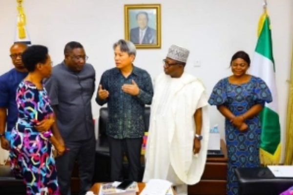
    EAD: Geospatial and Human Resources for Census and the Country’s Development Planning

    Geospatial resources and technology play a critical role in the EAD process. Census bureaus use various geospatial and mapping technologies to create accurate and reliable maps of the enumeration areas. These maps help to visualize the boundaries and characteristics of the enumeration areas and make it easier to plan and conduct an effective census. Some of the geospatial technologies used in EAD include Geographic Information Systems (GIS), satellite imagery, and GPS technology.

    Read More

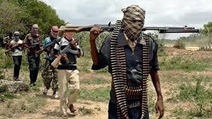
    Terrorists Attack MOPOL Checkpoint in Borgu, 48 Hours After Deadly Kasuwan-Daji Market Assault

    Barely 48 hours after the deadly attack on Kasuwan-Daji Market in Borgu Local Government Area of Niger State, which left about 42 people dead and scores of others—including children and elderly women—abducted, Terrorists have struck the area again. This time, the attackers targeted a Mobile Police (MOPOL) checkpoint in New Kalli, Wawa Ward of Borgu…

    Read More

    US Surveillance Flights Over Nigeria Spark Questions About New Security Deal

    The development comes as senior U.S. officials reportedly arrived in Abuja on Wednesday night, fuelling speculation about imminent announcements regarding bilateral security arrangements. While the Nigerian government has yet to issue an official statement, emerging information from defence experts suggests that Washington may be deepening its involvement in Nigeria’s fight against extremist groups.

    Read More
    EMTV NEWS
    Privacy Overview

    This website uses cookies so that we can provide you with the best user experience possible. Cookie information is stored in your browser and performs functions such as recognising you when you return to our website and helping our team to understand which sections of the website you find most interesting and useful.

    Verified by MonsterInsights